Geoscience and data for the mines of Pakistan.
We take an exploration license from the first satellite scene to the report the Mines & Minerals Department signs off: remote sensing, geological and geophysical surveys, plant design, and the data system that keeps every record in one place.
What we do
Six disciplines, one team, one dataset. Each piece of work is planned so the next one can use it: the remote sensing targets become the sampling plan, the samples feed the survey design, and all of it lands in the report.
Remote sensing studies
Multispectral and hyperspectral mapping of alteration, lithology and structure before anyone goes to the field.
Alteration maps · ranked targets · field KMZ
Geological exploration
Mapping, sampling programs and exploration plans for porphyry copper-gold, skarn, placer gold, barite, antimony and more.
Geological maps · sampling grids · work plans and budgets
Geophysical surveys
Magnetic, induced polarization, electromagnetic and radiometric surveys: data acquisition, processing and interpretation.
Magnetic maps · IP sections · interpretation reports
Technical reports & regulatory filings
The documents provincial mining departments ask for, written to their format: geological reports, work plans, production and CSR plans.
EL / ML reports · renewal and compliance files
Mineral processing plant design
Practical flowsheets and bench tests for gravity and flotation circuits, sized for local fabrication.
Flowsheets · SOPs · equipment lists · tonnage reporting
GIS, topographic surveys & data
Topographic and drone surveys, lease maps and clean project databases in open formats.
Contour plans · elevation models · GIS maps · databases
Read the ground from orbit first.
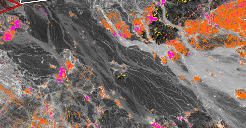
Before a field crew is mobilized, we have already mapped where the clays, iron oxides and carbonates sit on your license, and ranked where to walk first.
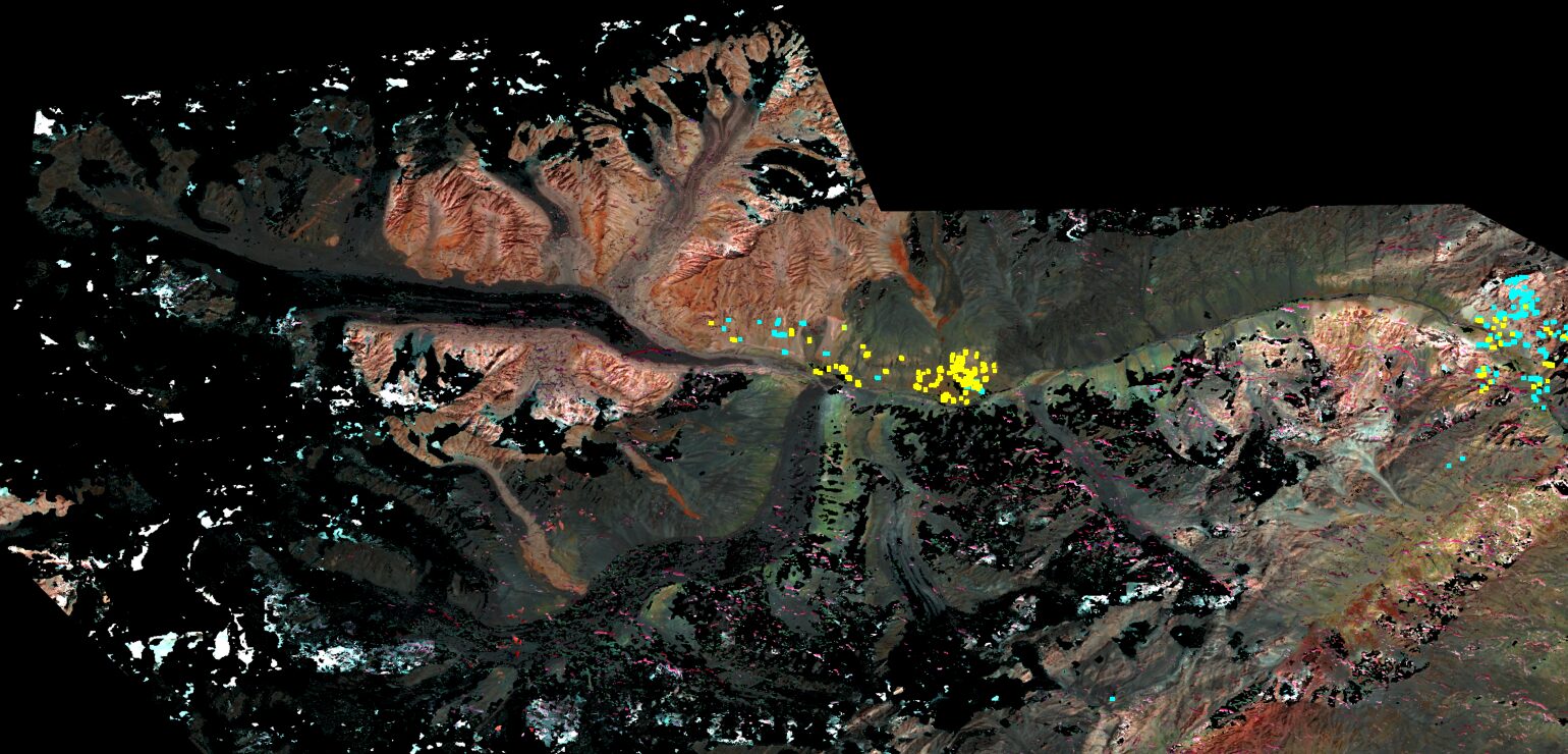
Alteration minerals leave their signatures in the short-wave infrared. We read them from multispectral and hyperspectral satellite data, check the results against reference spectra, and turn them into targets a geologist can stand on.
- Coverage
- Whole licensein one study
- Output
- Ranked targetswith field coordinates
- Time
- A few weeksper license
dbmine
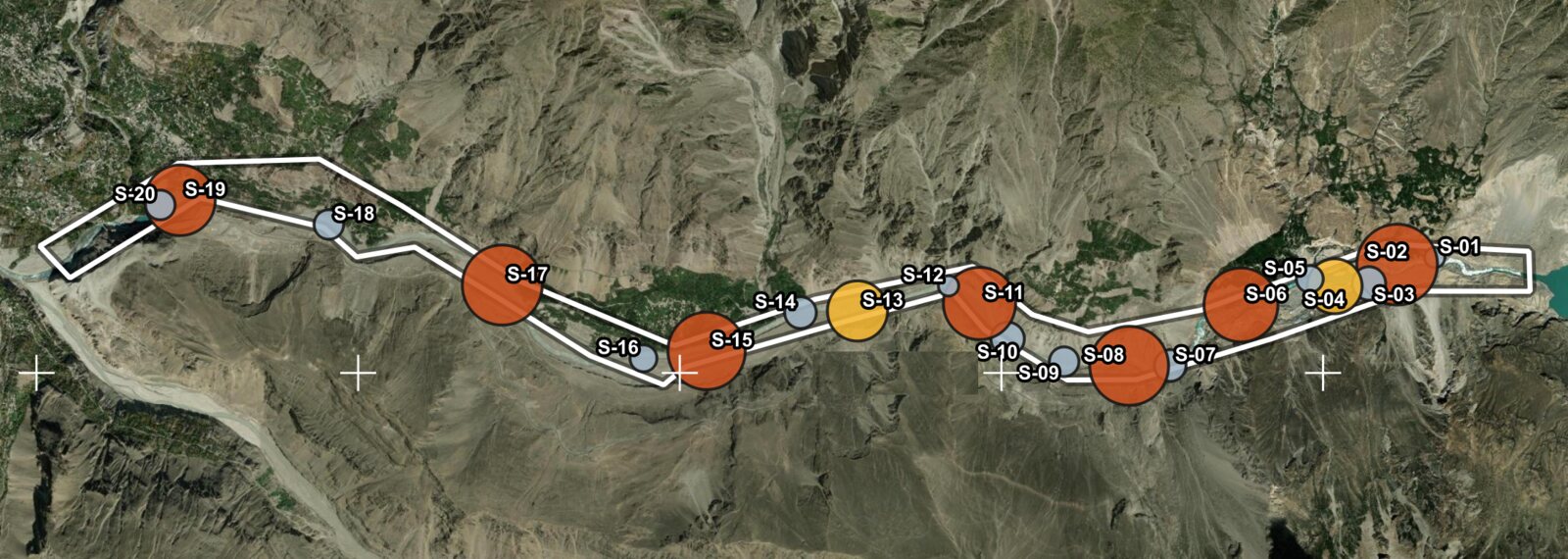
A complete G&G data management suite for mines. Every lease, sample, survey line, drillhole and satellite product on one interactive map, with QA/QC and department reporting built in.
- Interactive project map with every dataset as a layer
- Assay and survey QA/QC with flagged outliers
- Lease register with renewal dates and filing tracker
- Reports and maps in your department's format
From license to submission
A typical exploration license, start to finish. We can run the whole sequence or join at any step.
Desk study
Geology, past work and a remote sensing screen of the whole license.
Target ranking
Alteration, structure and access combined into a ranked list with field coordinates.
Field program
Mapping, sampling and geophysical surveys where they pay off.
Interpretation
Integrated maps, cross-checked results and a clear recommendation on what to drill.
Department filing
Geological report, work plan and progress reports in the format the department expects.
Selected work
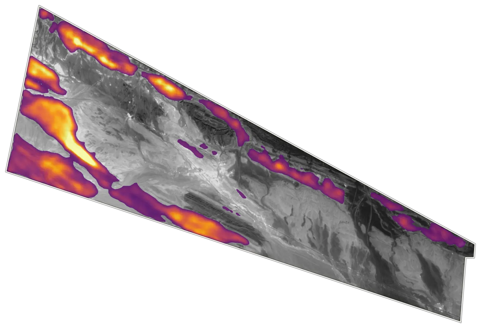
Project names and coordinates are withheld for our clients. The geology is real.
Have a license, a dataset or a deadline?
Tell us the commodity, the province and what the department has asked for. Your message goes straight to Ammar Hashmi, the geophysicist who will run the work.