Exploration license and proposed extensions
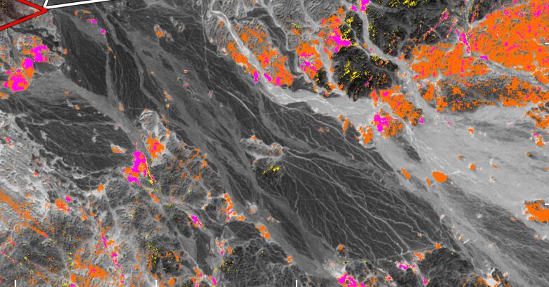
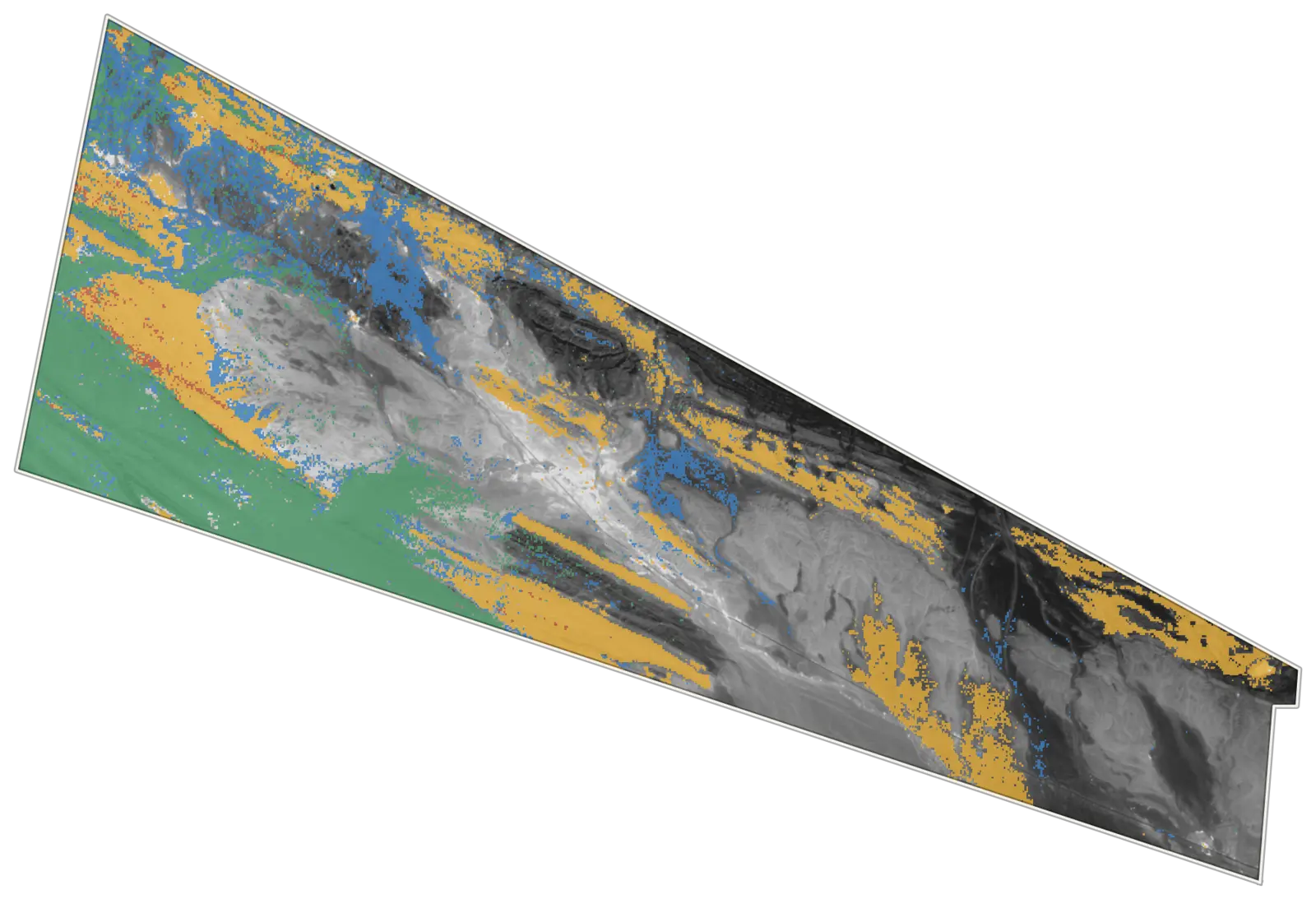
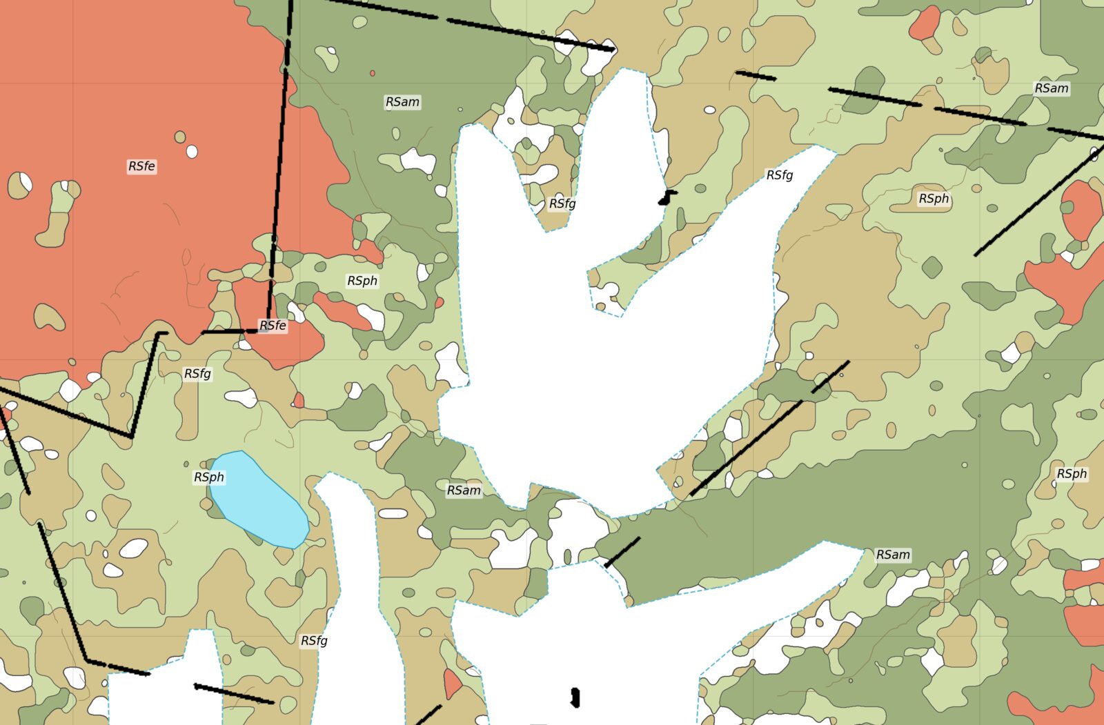
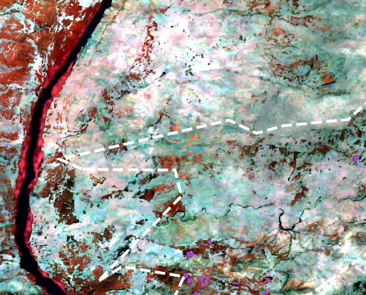
Satellite alteration mapping across the license and its neighbors, followed by ground magnetic and soil geochemistry surveys over the target areas. We reviewed the contractor's magnetic data as it came in, assessed adjoining blocks for acquisition, and wrote the remote sensing justification that went to the department with the extension application.